
Baby Bust, 10th Anniversary Edition: New Choices for Men and Women in Work and Family Stewart D. Friedman

Non-fictie
Python comes with a host of open source libraries and tools that help you work on professional geoprocessing tasks without investing in expensive tools. This book will introduce Python developers, both new and experienced, to a variety of new code libraries that have been developed to perform geospatial analysis, statistical analysis, and data management. This book will use examples and code snippets that will help explain how Python 3 differs from Python 2, and how these new code libraries can be used to solve age-old problems in geospatial analysis.
You will begin by understanding what geoprocessing is and explore the tools and libraries that Python 3 offers. You will then learn to use Python code libraries to read and write geospatial data. You will then learn to perform geospatial queries within databases and learn PyQGIS to automate analysis within the QGIS mapping suite. Moving forward, you will explore the newly released ArcGIS API for Python and ArcGIS Online to perform geospatial analysis and create ArcGIS Online web maps. Further, you will deep dive into Python Geospatial web frameworks and learn to create a geospatial REST API.
© 2018 Packt Publishing (E-boek): 9781788293815
Verschijnt op
E-boek: 27 april 2018


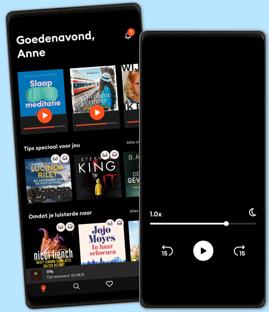
Kies het aantal uur en accounts dat bij jou past
Kids Mode - een veilige omgeving voor kinderen
Download verhalen voor offline toegang
Al 2,5 miljoen abonnees wereldwijd
★★★★★ 4,7 in de App Store
Voor wie onbeperkt wil luisteren en lezen.
€13.99 /30 dagen
1 account
Onbeperkt lezen en luisteren
Meer dan 1 miljoen luisterboeken en ebooks
Altijd opzegbaar
Voor wie zo nu en dan wil luisteren en lezen.
€9.99 /30 dagen
1 account
30 uur/30 dagen
Meer dan 1 miljoen luisterboeken en ebooks
Altijd opzegbaar
Voor wie Storytel wil proberen.
€7.99 /30 dagen
1 account
10 uur/30 dagen
Spaar ongebruikte uren op tot 50 uur
Meer dan 1 miljoen luisterboeken en ebooks
Altijd opzegbaar
Voor wie verhalen met familie en vrienden wil delen.
Vanaf €18.99 /30 dagen
2-3 accounts
Onbeperkt lezen en luisteren
Meer dan 1 miljoen luisterboeken en ebooks
Altijd opzegbaar
Jij + 1 familielid
2 accounts€18.99 /30 dagen