Good And Evil – The Mystery Of The Star T. J. Oliveira

Fakta og dokumentar
ArcGIS allows for complex analyses of geographic information. The ArcPy module is used to script these ArcGIS analyses, providing a productive way to perform geo-analyses and automate map production. The second edition of the book focuses on new Python tools, such as the ArcGIS API for Python. Using Python, this book will guide you from basic Python scripting to advanced ArcPy script tools. This book starts off with setting up your Python environment for ArcGIS automation. Then you will learn how to output maps using ArcPy in MXD and update feature class in a geodatabase using arcpy and ArcGIS Online. Next, you will be introduced to ArcREST library followed by examples on querying, updating and manipulating ArcGIS Online feature services. Further, you will be enabling your scripts in the browser and directly interacting with ArcGIS Online using Jupyter notebook. Finally, you can learn ways to use of ArcPy to control ArcGIS Enterprise and explore topics on deployments, data quality assurances, data updates, version control, and editing safeguards. By the end of the book, you will be equipped with the knowledge required to create automated analysis with administration reducing the time-consuming nature of GIS.
© 2017 Packt Publishing (E-bok): 9781787280410
Utgivelsesdato
E-bok: 29. juni 2017
 4.8
4.8 4.84.24.44.33.94.34.244.84.34.344.24.6
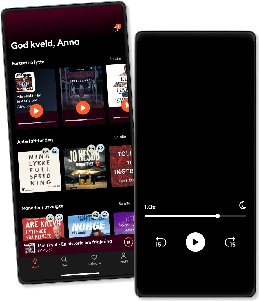
Over 900 000 lydbøker og e-bøker
Eksklusive nyheter hver uke
Lytt og les offline
Kids Mode (barnevennlig visning)
Avslutt når du vil
For deg som vil lytte og lese ubegrenset.
219 kr /måned
Lytt så mye du vil
Over 900 000 bøker
Nye eksklusive bøker hver uke
Avslutt når du vil
For deg som ønsker å dele historier med familien.
Fra 289 kr /måned
Lytt så mye du vil
Over 900 000 bøker
Nye eksklusive bøker hver uke
Avslutt når du vil
289 kr /måned
For deg som lytter og leser ofte.
189 kr /måned
Lytt opptil 50 timer per måned
Over 900 000 bøker
Nye eksklusive bøker hver uke
Avslutt når du vil
For deg som lytter og leser av og til.
149 kr /måned
Lytt opp til 20 timer per måned
Over 900 000 bøker
Nye eksklusive bøker hver uke
Avslutt når du vil
Kos deg med ubegrenset tilgang til mer enn 700 000 titler.
Norsk
Norge