
Baby Bust, 10th Anniversary Edition: New Choices for Men and Women in Work and Family Stewart D. Friedman

Документални
Python comes with a host of open source libraries and tools that help you work on professional geoprocessing tasks without investing in expensive tools. This book will introduce Python developers, both new and experienced, to a variety of new code libraries that have been developed to perform geospatial analysis, statistical analysis, and data management. This book will use examples and code snippets that will help explain how Python 3 differs from Python 2, and how these new code libraries can be used to solve age-old problems in geospatial analysis.
You will begin by understanding what geoprocessing is and explore the tools and libraries that Python 3 offers. You will then learn to use Python code libraries to read and write geospatial data. You will then learn to perform geospatial queries within databases and learn PyQGIS to automate analysis within the QGIS mapping suite. Moving forward, you will explore the newly released ArcGIS API for Python and ArcGIS Online to perform geospatial analysis and create ArcGIS Online web maps. Further, you will deep dive into Python Geospatial web frameworks and learn to create a geospatial REST API.
© 2018 Packt Publishing (Е-книга): 9781788293815
Дата на излизане
Е-книга: 27 април 2018 г.


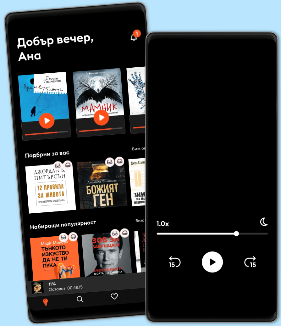
Над 500,000 заглавия на 6 езика
Нови книги всяка седмица и ексклузивни заглавия
Детски режим - безопасна зона за деца
Офлайн режим
Най-добрият избор. Открийте хиляди незабравими истории.
8.69 € | 16.99 лв. /30 дни
1 профил
Неограничен достъп
Избирайте от хиляди заглавия
Слушайте и четете неограничено
Прекратете по всяко време
33% отстъпка от месечния абонамент. Избирайте от хиляди заглавия.
69.53 € | 135.99 лв. /година
1 профил
Неограничен достъп
Избирайте от хиляди заглавия
Слушайте и четете неограничено
Прекратете по всяко време
Споделете историите със семейството или приятелите си.
12.78 € | 24.99 лв. /30 дни
2 профила
Неограничен достъп
Потопете се заедно в света на историите
Слушайте и четете неограничено
Прекратете по всяко време
Споделете историите със семейството или приятелите си.
14.99 € | 29.32 лв. /30 дни
3 профила
Неограничен достъп
Потопете се заедно в света на историите
Слушайте и четете неограничено
Прекратете по всяко време