
Summary of Katherine Clarke's Billionaires Row IRB Media

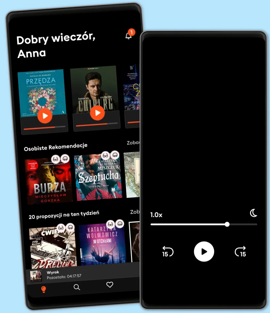
Romans na spacerze? Kryminał w drodze do pracy? Wciągający thriller, gdy gotujesz? Z ponad 500 tys. tytułów do wyboru, nigdy nie zabraknie Ci najlepszych historii. Zacznij słuchać już dziś - ale uważaj, te emocje uzależniają!
Literatura Faktu
QGIS is a user friendly open source geographic information system (GIS) that runs on Linux, Unix, Mac OSX, and Windows. The popularity of open source geographic information systems and QGIS in particular has been growing rapidly over the last few years. More and more companies and institutions are adopting QGIS and even switching to QGIS as their main GIS.
Learning QGIS 2.0 is a practical, hands-on guide that provides you with clear, step-by-step exercises that will help you to apply your GIS knowledge to QGIS. Containing a number of clear, practical exercises, this book will introduce you to working with QGIS, quickly and painlessly. If you want to take advantage of the wide range of functionalities that QGIS offers, then this is the book for you.
This book takes you from installing and configuring QGIS, through handling spatial data to creating great maps. You will learn how to load and visualize existing spatial data and how to create data from scratch. You will perform common geoprocessing and spatial analysis tasks and automate them. We will cover how to achieve great cartographic output and print maps. You will learn everything you need to know to handle spatial data management, processing, and visualization tasks in QGIS.
© 2013 Packt Publishing (E-book): 9781783280001
Wydanie
E-book: 17 września 2013
Tagi
 4.9
4.9 4.44.74.74.24.54.84.74.74.74.84.84.94.34.6
Ponad 500 000 tytułów w cenie jednego abonamentu
Wypróbuj przez 7 dni
Słuchaj i czytaj w trybie offline
Ekskluzywne produkcje audio Storytel Original
Tryb dziecięcy Kids Mode
Anuluj kiedy chcesz
Dla tych, którzy chcą słuchać i czytać bez limitów.
39.90 zł /30 dni
1 konto
Słuchanie bez limitów
Anuluj w dowolnym momencie
Dla tych, którzy chcą słuchać i czytać bez limitów.
39.90 zł /30 dni
1 konto
Słuchanie bez limitów
Anuluj w dowolnym momencie
Dla tych, którzy słuchają i czytają od czasu do czasu.
22.90 zł /30 dni
1 konto
10 godzin / miesiąc
Anuluj w dowolnym momencie
Dla tych, którzy chcą dzielić się historiami ze znajomymi i rodziną.
Od 59.90 zł /30 dni
2–3 konta
Słuchanie bez limitów
Anuluj w dowolnym momencie
59.90 zł /30 dni
Polski
Polska